



Spatial intelligence that completes the workflow.
Connect maps, assets, telemetry, customers and operational systems. Ask in plain English. Let AI reason across location—and complete the workflow.
A spatial intelligence layer that sits between your people, your map and the systems that run the business.
GIS platforms are excellent at what they were built for. But operational decisions need far more than a map, and that is where the time goes.
What GIS does well
- Stores and maintains spatial data
- Draws maps and layers
- Spatial analysis for trained specialists
- The record of where assets are
Where it stops
- No business context: work orders, finance, customers, alarms
- Used mainly by a few GIS specialists
- Cannot reason across other systems
- Does not run the workflow end to end
Every real decision touches GIS and five or six other systems. Today, people bridge that gap by hand.
GIS Analyst Agent fills the gap
One intelligence layer that understands every system, connects them in place and runs the workflow.
GIS Analyst Agent understands and connects your spatial data, wherever it lives, with every system around it, so teams can visualize, inquire, analyze and complete workflows.
| Capability | Traditional GIS | Chatbot / NL-query tools | GIS Analyst Agent |
|---|---|---|---|
| Usable by non-specialists | Limited | Yes | Yes |
| Reasons across GIS, SAP, Maximo, SCADA and data platforms | No | Usually one source | Yes |
| Multi-step spatial analysis | Specialists only | No | Yes |
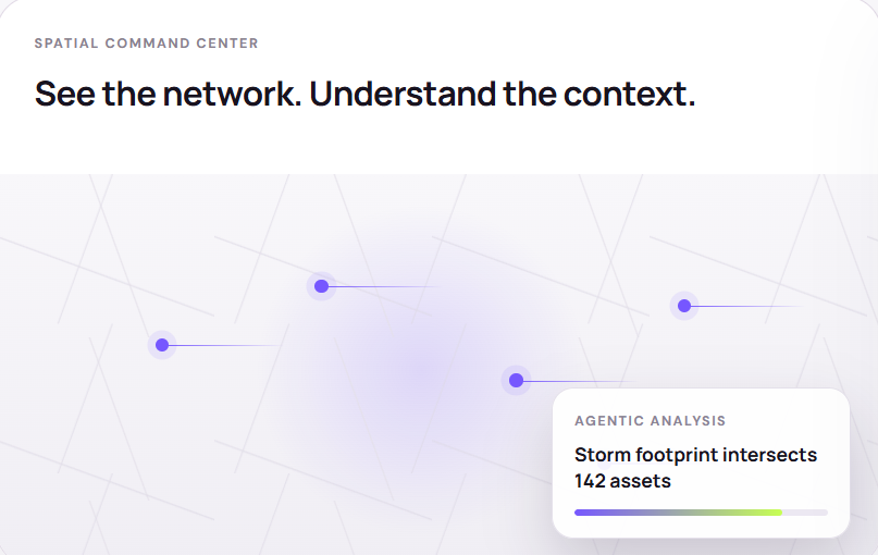
nstead of another dashboard, GIS Analyst Agent gives teams a living operational view—where data, reasoning and action meet.
Reason across the stack.
Most tools stop at answering questions. The real time savings are in analysis and the end-to-end workflow.
Visualize
Bring assets, networks, events and business data together on one live map, built on the fly from any source, including addresses and site IDs.
Inquire
Plain-English, read-only questions answered across GIS and the systems around it. An ontology maps your business terms to the right data.
Analyze
Agents plan and run multi-step analysis across systems: buffers, intersections and proximity, joined with work orders, alarms and financials.
Update
Write changes back to the system of record, such as creating work orders or updating asset status, with human approval and a full audit trail.
Time ranges are indicative for typical manual workflows and are validated for each client during discovery.
Example: prioritizing repairs after a storm.
See the storm footprint over the network
Find the assets and customers inside it
Rank repairs by criticality and nearest crew
Create work orders and update records
Several teams, four or five systems and days of manual work before crews move.
One workflow across every system, ending in a prioritized repair plan on the map.
GIS Analyst Agent queries data in place through its connector framework. Nothing is copied into a new system of record.
GIS platforms
Extend the GIS you already run.
Databases & data platforms
Use spatial and business data where it lives.
Operational systems
Bring business context into every spatial answer.
Specific connectors and versions for your environment are confirmed during scoping.
User
Answers on a map without waiting on a specialist.
Analyst
Multi-system analysis in minutes, not days.
Updater Roadmap
Changes written back to the record, with approval.
Field worker
Answers on site from a phone, through the GIS Analyst Agent.
Oil & gas
Wells, pipelines, land and leases, environmental monitoring.
“Which wells within a mile of a creek had a pressure alarm this week?”
Electric utilities
Network, outages, vegetation and wildfire risk, critical customers.
“If transformer T-112 fails, which customers lose power, and which are hospitals?”
Telecom
Fiber routes, towers, network build and field operations.
“Which planned fiber routes cross permitted right-of-way that expires this quarter?”
Water
Mains, leaks, pressure zones and service areas.
“Show mains older than 50 years with repeated leak work orders.”
Land & government
Parcels, permits, zoning, royalties and compliance.
“Which leases next to our pipeline expire in the next 90 days?”
Live with a large US land and resource operator, giving land, operations and finance teams plain-English access to their GIS catalog.
- Customer-hosted on AzureRuns inside the customer’s own environment.
- Natural-language access to GIS layersBusiness teams query spatial data without GIS training.
- Multi-team deploymentLand, operations and finance working through one agent.
Customer-hosted
Deploy in your own Azure, AWS or on-premises environment (Enterprise tier). Data is queried in place.
Bring your own LLM
Use your preferred model provider or an on-premises model to meet vendor and residency requirements.
Governed access
Role-based access with SSO and SAML. Each team sees only the data it is scoped to.
AI observability
Every answer records the systems, steps and results behind it, so it can be traced and reviewed.
Business ontology
A maintained model of your business terms keeps answers business-correct, not just geographically accurate.
Nothing to replace
Works alongside your GIS, data platforms and operational systems. No rip-and-replace, no migration project.
Is the GIS Analyst Agent a GIS platform?
No. It does not replace ArcGIS, QGIS or PostGIS. It works on top of the GIS you have, or delivers maps and spatial analysis directly on your data if you don’t run a GIS platform.
How is it different from a chatbot or natural-language query tool?
Asking a question is only the entry point. GIS Analyst Agent plans multi-step work across several systems, grounded in an ontology of your business, and runs the workflow end to end.
Do we need to migrate our data?
No. GIS Analyst Agent connects to data where it already lives and queries it in place.
Where does our data live, and which models are used?
From the Enterprise tier, GIS Analyst Agent can run in your own Azure, AWS or on-premises environment, with your own LLM provider or an on-premises model.
Can it write changes back into our systems?
Write-back, such as creating work orders, is on our roadmap and will include human approval and a full audit trail. Today GIS Analyst Agent visualizes, inquires and analyzes across your systems.
How do we get started?
With a short discovery session to identify one high-value workflow and the systems behind it, followed by a focused production deployment on your own data.
Book a 30-minute session. We’ll map one workflow, the systems behind it, and a production path on your data.